lt 67 mealer roadEllijay, GA 30536
lt 67 mealer roadEllijay, GA 30536
Description
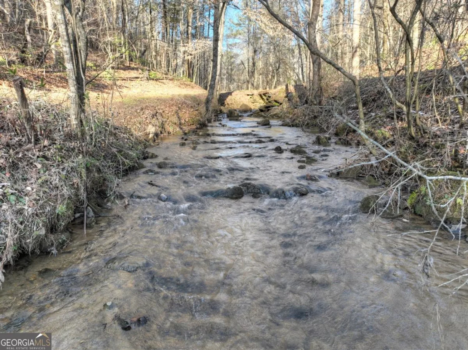
RARE FIND...40 acres featuring year-round long-range mountain views, wildlife throughout, mixed timber land and ample peace and tranquility. Vacant land for sale in the North GA with proximity to Ellijay, Jasper, Blue Ridge, Dawsonville and Cumming, GA. This magnificent property in Gilmer County has a rural atmosphere and relaxing lifestyle making it the place for you to be! Who doesn't love the small town feel to live, but to still be close and convenient to popular spots around Atlanta. This large tract located between Highway 52E and Highway 136 is perfectly suited for development property considering the excellent topography and prime location, yet would also be perfect for a hunting camp, vacation cabin rentals, a vineyard, or private estate atop of the world! NEW road in place. 40 more acres available if looking for more land! Gentle and winding terrain boasts desirable building lots in a variety of areas - both wooded and private. Don't Miss Out!
Property Details for LT 67 Mealer Road
- Subdivision ComplexNONE
- Property AttachedNo
LISTING UPDATED:
- StatusClosed
- MLS #20029358
- Days on Site155
- Taxes$2,558 / year
- MLS TypeLand
- Year Built
- Lot Size40.00 Acres
- CountryGilmer
LISTING UPDATED:
- StatusClosed
- MLS #20029358
- Days on Site155
- Taxes$2,558 / year
- MLS TypeLand
- Year Built
- Lot Size40.00 Acres
- CountryGilmer
Building Information for LT 67 Mealer Road
- Year Built
- Lot Size40.0000 Acres
Payment Calculator
Term
Interest
Home Price
Down Payment
The Payment Calculator is for illustrative purposes only. Read More
Property Information for LT 67 Mealer Road
Summary
Location and General Information
- Community Features: None
- Directions: Map GPS to 463 Mealer Road, Ellijay GA 30536 to get close to the property and then continue straight past 463 Mealer Rd for 1 1/2 miles until you see Realtor signs where property begins. Property has road going through almost to very top. Written Directions: Take Hwy 52 East toward Dawsonville approx. 8.4 miles. Turn Right onto Burnt Mountain Rd. Go approx. 2 miles then turn Right onto Mealer Rd. Continue straight on Mealer Rd for 2 1/2 miles until you get to property at top of mountain. Sign in Place where property begins.
- View: Mountain(s)
- Coordinates: 34.576604,-84.375288
School Information
- Elementary School: Clear Creek
- Middle School: Clear Creek
- High School: Gilmer
Taxes and HOA Information
- Parcel Number: PART OF 3130 011
- Tax Year: 2020
Virtual Tour
Parking
- Open Parking: No
Interior and Exterior Features
Interior Features
Exterior Features
- Pool Private: No
- Other Structures: None
Property
Utilities
- Sewer: None
- Utilities: Cable Available, Electricity Available, High Speed Internet, Phone Available
- Water Source: None
Property and Assessments
- Home Warranty: No
Green Features
Lot Information
- Lot Features: Level, Sloped, Corner Lot, Private
Multi Family
- Number of Units To Be Built: Square Feet
Rental
Rent Information
- Land Lease: No
- Occupant Types: Vacant
Public Records for LT 67 Mealer Road
Tax Record
- 2020$2,558.00 ($213.17 / month)
Home Facts
- Beds0
- Baths-
- Lot Size40.0000 Acres
- StyleAgriculture
- APNPART OF 3130 011
- CountyGilmer